If you’ve driven through downtown Minneapolis lately, you’ve probably heard the news — Hennepin Avenue is finally reopening after years of construction. The city’s most talked-about road is back with new bike lanes, sidewalks, and better drainage. But before the celebration, there was a lot of quiet work that nobody saw. Teams of surveyors checked every line, corner, and elevation to make sure the street matched city plans. Their work confirmed that the road stayed inside the city’s legal right-of-way. That same idea applies to private projects, too. Before you start building, it’s smart to set aside money for an ALTA Land Title Survey.
The Quiet Work That Makes a Street Reopening Possible
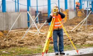
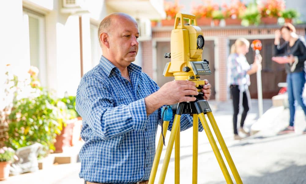
When a road like Hennepin Avenue reopens, it’s not just about taking away cones. It’s about accuracy. Surveyors spend months walking the area, checking property lines, and confirming that every curb and ramp is built in the right place.
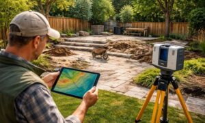
They use special equipment to double-check utility lines, property corners, and elevation points. If even one thing is off, the city could face delays or expensive fixes.
Private developers deal with the same risks. If your project starts without solid land data, you might run into problems halfway through construction. That’s why surveys aren’t just for government projects — they’re for anyone who wants to build the right way from the start.
What an ALTA Land Title Survey Really Does
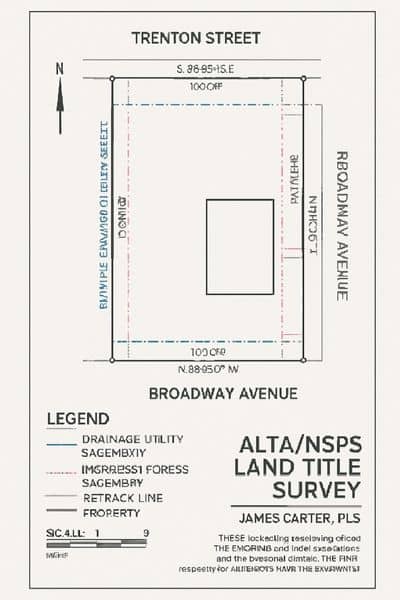
An ALTA Land Title Survey is one of the most complete types of property surveys. It follows national standards from the American Land Title Association (ALTA) and the National Society of Professional Surveyors (NSPS).
Unlike a simple boundary survey, it shows everything that could affect how you use the land:
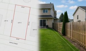
- Exact property lines and ownership limits
- Easements and encroachments
- Utility lines and improvements
- Access points, flood zones, and rights-of-way
This information helps you plan with confidence. You might find out that a power line runs under your parking area, or that a small part of your fence crosses into another lot. Knowing these details early lets you fix them before they turn into bigger problems.
Why You Should Budget for It Early
Many property owners wait until closing to order a survey, but that’s a mistake. The ALTA Land Title Survey should be one of the first things in your project budget.
Here’s why that matters:
- It keeps designs accurate. Architects and engineers can plan based on the real shape and limits of the property.
- It makes lenders confident. Verified survey data builds trust and helps loans move faster.
- It avoids surprises. You can find encroachments, setbacks, or flood risks early, not after the project starts.
In a city like Minneapolis, where old property plats and new zoning rules often overlap, accuracy isn’t optional — it’s essential.
Lessons From Hennepin Avenue
The Hennepin Avenue project shows how much survey data matters. Crews rebuilt lanes, moved utilities, and realigned sidewalks, all based on precise survey control. Every design choice — from curb height to drain placement — depended on those measurements.
Private projects work the same way. A misplaced parking lot or fence can delay permits and increase costs. When surveyors verify boundaries early, builders avoid expensive rework later.
If the City of Minneapolis won’t reopen a major street without final survey approval, developers shouldn’t break ground without one either. Survey first, build second.
The Real Cost of Skipping It
Skipping a professional survey might seem like a way to save money, but it often costs more later. Imagine finishing a building only to learn that part of it sits inside a city easement. Fixing that could mean weeks of delays and thousands of dollars in changes.
Older neighborhoods like Uptown or Northeast often have unclear property lines because of outdated plats or shifting fences. Even a few inches of error can cause big legal trouble when selling, refinancing, or applying for permits.
An ALTA Land Title Survey confirms where your property truly begins and ends. It gives you peace of mind that your project meets legal boundaries and city codes.
Planning Ahead the Smart Way
Before you start designing, talk to a licensed land surveyor who knows records. They can find old markers, confirm your property corners, and check for any easements that might affect your plans.
This early step helps your whole project team. Engineers can plan grading properly, and architects can design safely within buildable areas. It also keeps your project on schedule during city reviews and inspections.
Just like the city relied on accurate data to rebuild Hennepin Avenue, you can rely on survey control to make your construction process smoother and safer.
Final Takeaway
The reopening of Hennepin Avenue isn’t just about new pavement and bike lanes. It’s proof that every big project depends on careful surveying. Surveyors made sure every part of the road fit perfectly within legal boundaries before traffic returned.
Your project deserves that same level of accuracy.
An ALTA Land Title Survey isn’t just another form to check off — it’s the groundwork for everything that follows. By budgeting for it early, you’ll save time, avoid costly surprises, and start your construction on a rock-solid foundation.