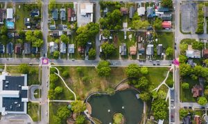
Looking at your property online feels simple. You pull up a map, find your lot, and the lines look clean and clear. It feels like everything is already figured out.
Then real life starts to disagree.
A fence doesn’t match the line on the screen. A driveway sits closer to the edge than expected. A neighbor seems to use part of the space you thought was yours. That’s when people start asking questions.
Online maps help, but they don’t show the full picture. Most of them rely on older records and general outlines. They are built to give a rough view, not exact answers. So while they look precise, small gaps can exist between what you see and what is actually on the ground.
This matters more now because more people rely on online tools before making property decisions. It feels easy to trust the map. It feels complete. Still, it can leave out details that only show up when someone takes real measurements.
What You Notice First When Something Feels Off
Most property issues don’t show up as big problems at the start. They show up as small doubts.
You might look at your yard and feel like something doesn’t line up. The space looks wider on one side. A fence seems slightly out of place. A corner is hard to find. These are small things, but they often point to bigger questions.
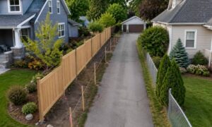
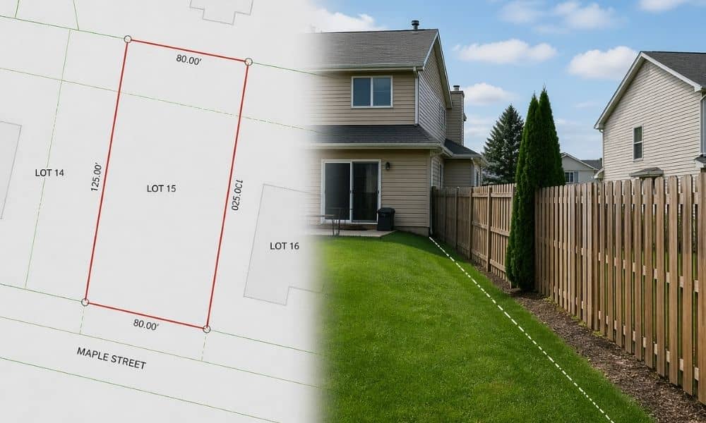
Many people assume fences mark the boundary. That’s not always true. Fences get built based on convenience, not exact location. Over time, they can shift how people use the land, even if the legal line sits somewhere else.
Driveways and garages can create the same confusion. They may sit close to a boundary, and without clear markers, it becomes hard to tell how much space actually belongs to you.
These are the moments when the online map stops being enough.
Why Lot Details Matter More Than They Seem
A property can look simple on paper. A clean square. A clear shape. A number that tells you the size.
Then you look closer.
Some lots have angles. Some narrow down at one end. Others stretch in ways that don’t show clearly on a quick map view. These details affect how you use the space.
A yard might feel large until you realize part of it sits near a boundary that limits what you can build. A side area might look open but turns out to be tighter than expected.
These small differences shape real decisions. They affect where you place a structure, how you plan improvements, and how the space functions day to day.
How Nearby Properties Can Add to the Confusion
Your lot doesn’t sit alone. It connects to other properties, and those connections can create more questions.
Look at the surrounding lots. Sometimes the lines don’t seem to align perfectly. One yard may stretch farther than the next. A fence may cut across what looks like a boundary.
These patterns often come from years of use. People build, adjust, and settle into space based on what feels right, not always what is correct.
That history can make things look stable when they are not. It can give a false sense of certainty, especially when you rely only on what you see.
Why Online Checks Reach a Limit
At some point, the screen just stops helping.
You look at the map, then back at your yard, and things still don’t line up. Corners aren’t clear. Lines don’t match what you see. Features sit near the edges, but you can’t tell where anything really begins or ends.
This is where most people pause. You’ve seen enough to know something feels off, but not enough to feel sure about anything.
Online tools give a general view. They help you get a sense of the property, but they don’t show exact positions on the ground.
If you’re planning to buy, build, or make changes, guessing at this point can lead to problems later. That’s usually when people decide to get a professional land survey before moving forward, just to be sure.
What a Land Survey Company Brings Into Focus

A land survey company works on the ground, not just on a screen.
They measure the property using real data. They find the true boundaries, mark the corners, and show how structures sit in relation to those lines.
That takes away the guesswork.
Instead of wondering if a fence is in the right place, you know. Instead of guessing where a corner might be, you can actually see it marked. You’re no longer relying on a map that only gives you a rough idea.
This kind of clarity changes how you make decisions. It gives you a solid base to work from, whether you plan to build, adjust, or just understand your property better. It’s usually around here that people start working with a local land survey company, once they want everything to line up for real.
Why This Step Helps You Avoid Problems Later
Small questions today can turn into bigger issues later.
A project may need to shift because space isn’t what it seemed. A structure may sit closer to a boundary than expected. Plans may need changes after work has already started.
These problems don’t come from bad decisions. They come from missing details early on.
Taking the time to check your property carefully, then bringing in a land survey company when needed, helps prevent that.
It gives you clear information before you commit to anything.
Seeing Your Property With More Confidence
Understanding your property should feel simple, but it rarely is at first.
Online tools give you a starting point. They help you spot patterns and notice anything unusual. That alone is useful.
Still, the real clarity comes when the details are confirmed on the ground.
Once you know exactly where things stand, everything else becomes easier. Decisions feel more solid. Plans move forward without doubt.
That shift from guessing to knowing makes a big difference for any property owner in Minneapolis.