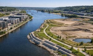
Over the past few days, Minneapolis has seen a surge of map screenshots shared across social media. People are posting parcel outlines, zoomed-in boundary lines, and aerial views to explain what they believe is happening on the ground. At first glance, those images look official. They feel factual. They even appear precise. However, that confidence is exactly where the problem starts. While online maps play a useful role, they are not designed to define legal property boundaries. When people treat them as proof, confusion follows. In a dense city like Minneapolis, that confusion can quickly turn into disputes, delays, and costly mistakes. This is where a property line survey becomes the only thing that truly counts.
Why maps spread so fast during breaking news
When something big happens locally, people want context right away. Maps give that context instantly. They show streets, parcels, and shapes that feel concrete. As a result, screenshots travel faster than explanations.
At the same time, social media rewards speed. The first map shared often becomes the reference point, even if it lacks accuracy. Unfortunately, once an image feels “official,” most people stop questioning it. That is especially risky when property lines enter the conversation.
In Minneapolis, where lots sit close together and history runs deep, a few feet on a screen can mean a serious real-world issue.
Why online property maps feel more accurate than they are
Most online property maps look clean and professional. They use sharp lines, muted colors, and official labels. Because of that, people assume the information must be correct.
But visuals do not equal legal truth.
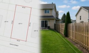
These maps usually rely on GIS parcel data. That data helps with planning, taxation, and general reference. Still, it does not define exact boundary locations. It does not resolve conflicts between old records. It does not show how monuments on the ground actually control the line.
Even worse, different platforms can show different lines for the same property. When that happens, people often pick the version they like best. That choice may feel harmless, yet it creates problems once work begins.
What viral property maps do not show
A screenshot only shows what fits on a screen. It leaves out everything that matters when boundaries matter.
For example, online maps do not show how property descriptions were written decades ago. They do not reflect boundary adjustments made through past surveys. They also ignore physical evidence like iron pins, stones, or markers that still control the line today.
In Minneapolis, this matters more than many people realize. Older neighborhoods often include alleys, shared driveways, and narrow side yards. Because of that, property lines rarely match assumptions. When someone relies on a map instead of a survey, mistakes follow.
When map assumptions turn into real problems
At first, trusting an online map feels harmless. After all, many people only want a general idea. Problems begin once decisions follow that assumption.
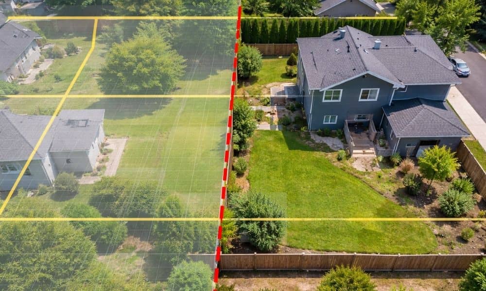
For instance, neighbors may argue over where a fence should go. One side points to a screenshot. The other side shares a different one. Suddenly, both believe they are right.
Likewise, homeowners may plan landscaping, walls, or grading based on an online line. Later, they discover the improvement crosses into a neighbor’s land or public space. At that point, fixing the issue costs far more than verifying it first.
Contractors also face this problem. If a client provides a map and says, “This is the line,” the contractor may build based on that claim. When the line turns out wrong, everyone points fingers.
Why a property line survey changes everything
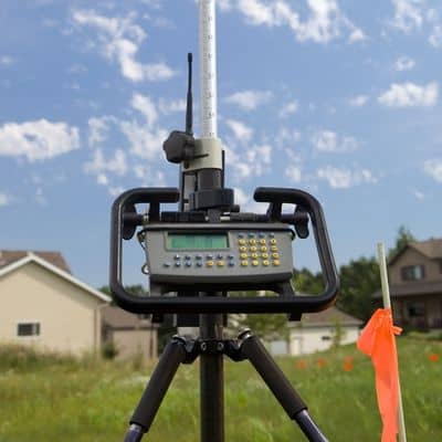
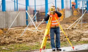
A property line survey does what screenshots cannot. It confirms where the legal boundary exists based on records, measurements, and physical evidence.
Unlike online maps, a survey does not guess. It ties the property to recorded documents. It checks how past surveys align. It verifies corners on the ground. Most importantly, it creates a defensible result.
Cities rely on surveys. Courts rely on surveys. Title companies rely on surveys. Social media does not.
That difference matters. While maps can change overnight, a survey stands as a professional determination. When disagreements arise, only one holds weight.
Why Minneapolis properties face higher risk
Minneapolis presents unique challenges. Many neighborhoods include older plats, irregular lots, and shared access areas. Over time, fences shift, landscaping grows, and assumptions pass from owner to owner.
As a result, people often believe a line exists where it never did. Online maps reinforce that belief, even when it is wrong.
Because properties sit close together, small errors create big consequences. A few feet can block a permit, trigger a dispute, or delay a sale. In these situations, guessing does more harm than waiting.
The hidden cost of trusting the wrong line
Believing the wrong boundary creates more than paperwork issues. It causes stress. It strains neighbor relationships. It delays projects that should move forward smoothly.
In some cases, homeowners must remove work they already paid for. In others, transactions stall while issues get resolved. None of this happens because someone intended harm. It happens because an image feels trustworthy.
A property line survey avoids that outcome. It replaces uncertainty with clarity. It also gives everyone the same reference point, which reduces conflict.
Screenshots fade, surveys hold up
Online maps serve a purpose. They help people visualize space. They support planning discussions. However, they should never decide where a property line sits.
When a decision affects your home, your neighbor, or your investment, accuracy matters more than speed. Social media moves on quickly. Boundaries do not.
That is why, in moments of confusion or conflict, a property line survey remains the only thing that counts. It cuts through noise, settles questions, and protects everyone involved.
Before a screenshot leads you down the wrong path, choose certainty instead.