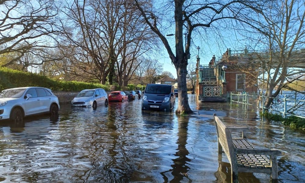
Flooding is no longer rare. Over the past few years, heavier rain and longer wet seasons have changed how land behaves across the city. Because of this shift, topographic surveys now play a much bigger role in how people plan, build, and protect property. Early in any project, updated survey data can show problems that did not exist years ago.
A recent report from the Minnesota Pollution Control Agency found that 88% of local governments in Minnesota already feel the effects of climate change. Flooding and intense storms top the list. For property owners, developers, and planners, this sends a clear signal: land conditions are changing, and old assumptions no longer work.
Flooding patterns are changing quickly
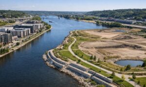
Minneapolis has always managed water. However, today’s flooding looks different. Storms now drop more rain in a shorter time. As a result, storm drains fill up faster. Water also moves across land in new ways, especially in older areas with aging systems.
Over time, soil settles, slopes change, and drainage paths shift. Land that once stayed dry may now flood after a heavy rain. Even small elevation changes can send water toward homes, basements, or driveways. These changes often stay hidden until damage appears.
That is why updated topographic surveys matter. They show how the land looks today, not how it looked years ago.
Why older survey data no longer works
Many property owners rely on surveys done long ago. At the time, those surveys worked well. However, they often miss today’s conditions. Grading changes, fill gets added, and erosion alters the ground. Nearby construction can also redirect runoff.
Topographic surveys measure current elevations, slopes, and drainage paths. They show where water flows and where it collects during storms. Because climate-driven flooding keeps changing land behavior, this updated data now matters more than ever.
Without it, decisions rely on outdated information. That increases risk.
How topographic surveys help prevent flooding problems
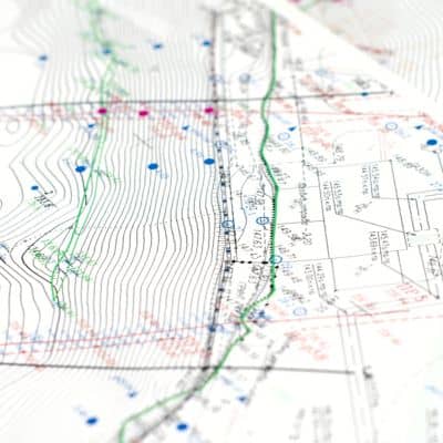
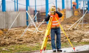
A modern topographic survey does more than mark property lines. It creates a clear picture of how water moves across the land. Surveyors collect elevation points across the site and connect them into contour lines. These lines show high areas, low areas, and natural flow paths.
With this data, engineers and designers can:
- Adjust grading to move water away from buildings
- Improve drainage before construction starts
- Design stormwater systems that actually work
- Spot flood-prone areas early
Because flooding now affects areas that never flooded before, this detail helps protect both buildings and budgets.
Why climate change raises the need for accurate elevation data
Climate-driven flooding does not follow old patterns. Water spreads faster and reaches new areas. Even small errors in elevation data can lead to big design mistakes.
Topographic surveys support flood safety by giving planners accurate elevation data. That data helps predict how water will move during heavy storms. In Minneapolis, where redevelopment often happens lot by lot, small elevation differences matter.
Cities now expect current topographic data when reviewing plans. This change reflects the reality that climate conditions no longer stay the same.
How this affects homeowners
Flooding does not only impact large projects. Homeowners now face new risks as well. Many people notice standing water in yards, wet basements, or runoff problems after storms. These issues often come from small grade changes around the home.
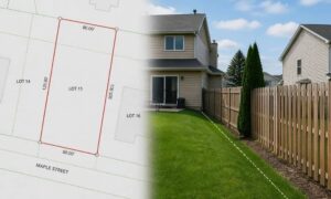
A topographic survey helps find the cause. It shows whether water flows toward the house or pools near the foundation. With this information, homeowners can fix problems before they grow worse.
Since repairs cost much more than surveys, learning how land behaves early saves money and stress.
Developers face higher risks than before
For developers, climate-driven flooding creates real challenges. Without accurate topographic data, projects can face redesigns, delays, or permit issues. Stormwater rules also grow stricter as cities respond to flooding.
Topographic surveys help developers:
- Check if a site is buildable
- Avoid drainage-related redesigns
- Meet stormwater requirements
- Reduce construction delays
In Minneapolis, where many projects involve older lots, land conditions vary widely. A current topographic survey gives developers confidence before moving forward.
Surveyors now play a bigger role in climate planning
Land surveyors no longer work only at the start of construction. Today, they support climate planning throughout a project. Their data helps engineers design safer sites and helps cities plan stronger neighborhoods.
Topographic surveys connect climate data to real land conditions. Without accurate ground data, climate plans stay theoretical. Surveyors turn those plans into usable information.
This change makes surveying a key part of climate adaptation, not just a technical step.
When a new topographic survey makes sense
In Minneapolis, several situations now call for updated topographic data:
- Before adding onto or redeveloping property
- After repeated flooding or drainage problems
- When applying for permits in flood-risk areas
- When relying on survey data that is several years old
If land conditions change, survey data should change too.
Why topographic surveys matter more going forward
Climate-driven flooding will continue to affect Minneapolis. As weather patterns shift, land conditions will keep changing. Because of this, topographic surveys will remain a vital tool for managing risk.
Accurate elevation data supports better planning, safer construction, and smarter long-term decisions. For property owners and developers, updating survey data now helps avoid costly surprises later.
In a city adapting to climate change, understanding the land beneath your feet matters more than ever.