How to Read a Plat of Survey
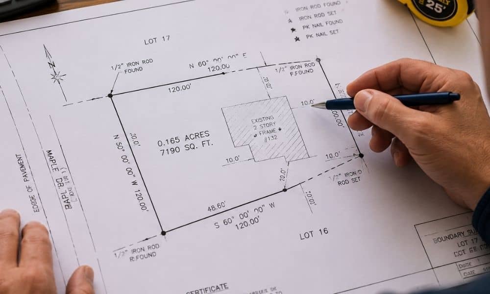
A plat of survey helps property owners understand boundaries, dimensions, easements, and physical features tied to a piece of land. In Minneapolis, where older neighborhoods, changing lots, and redevelopment projects are common, understanding a survey map can help you avoid expensive mistakes before buying property or making improvements. Many people receive a survey and immediately […]
How a Construction Surveyor Prevents Layout Mistakes
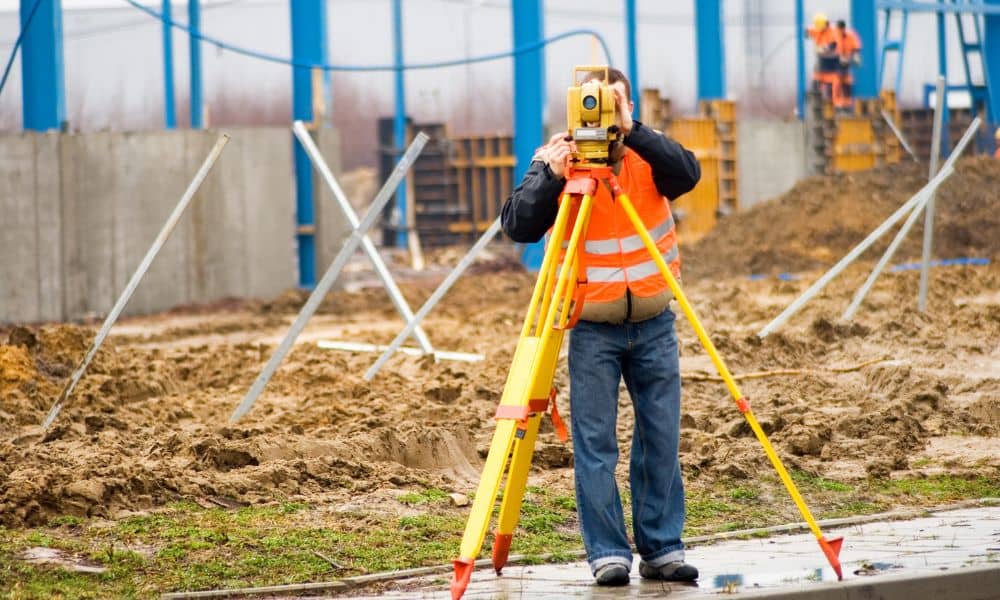
Most construction problems do not start with the build itself. They start much earlier, when plans meet real ground conditions. On paper, everything looks correct. Lines are straight, measurements match, and every corner has a place. Once work begins, small differences show up fast. That is where a construction surveyor becomes important. They help make […]
What to Check Before Calling a Land Survey Company
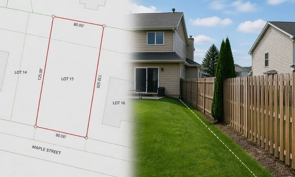
Looking at your property online feels simple. You pull up a map, find your lot, and the lines look clean and clear. It feels like everything is already figured out. Then real life starts to disagree. A fence doesn’t match the line on the screen. A driveway sits closer to the edge than expected. A […]