What to Check Before Calling a Land Survey Company
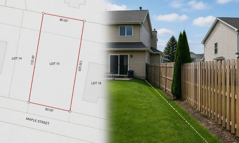
Looking at your property online feels simple. You pull up a map, find your lot, and the lines look clean and clear. It feels like everything is already figured out. Then real life starts to disagree. A fence doesn’t match the line on the screen. A driveway sits closer to the edge than expected. A […]
Boundary Survey Risks: What Happens When Utility Marks Fail
When people hear boundary survey, they usually picture a surveyor walking around a property, putting stakes in the ground, and drawing lines on a map. That’s part of it, but there’s more happening behind the scenes. One thing that often gets overlooked is utility locates—the little flags and markings that show where water, gas, electric, […]
How Drone Surveying Is Changing Land Redevelopment Projects

If you’ve heard about Graco moving out of their big property along the Mississippi River in Minneapolis, you know this opens up a huge chance for new development. The site covers 40 acres of prime riverfront land. But before anything new can be built, surveyors need to take a close look at the land. This […]