Licensed Land Surveyor Shift: From Stakes to Screens

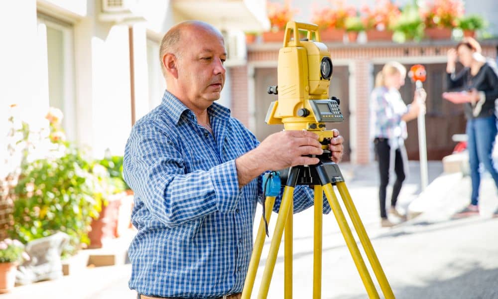
For decades, the role of a licensed land surveyor in the Twin Cities has been grounded—literally—in the field. Tripods, total stations, and long days marking boundaries were the norm. But lately, surveyors across Minneapolis and St. Paul are noticing a shift. With more builders using layout crews and drone data, traditional fieldwork is tightening. At […]
Why Every Builder Should Budget for an ALTA Land Title Survey
If you’ve driven through downtown Minneapolis lately, you’ve probably heard the news — Hennepin Avenue is finally reopening after years of construction. The city’s most talked-about road is back with new bike lanes, sidewalks, and better drainage. But before the celebration, there was a lot of quiet work that nobody saw. Teams of surveyors checked […]
Build the Perfect Property Line Survey Package

When you’re getting ready for a property line survey, it’s easy to think the hard part starts when the crew arrives. In reality, a smooth and accurate survey begins long before anyone sets foot on your property. The more prepared you are with records, maps, and documents, the faster your surveyor can get the job […]