When you hire a construction surveyor, you expect accurate measurements. After all, a few inches can make or break a foundation, delay a project, or cause costly rework. What many people don’t realize is that even the best technology has a hidden vulnerability: the sun. Recent news from NOAA about the launch of the SWFO-L1 satellite is a big reminder that solar storms can shake up GPS signals, and that matters a lot in construction.
Why Solar Storms Matter for Surveying
Solar storms are bursts of energy from the sun that interact with the Earth’s atmosphere. When that happens, GPS signals can get scrambled. For surveyors, this can mean dropped connections, “float” fixes instead of precise ones, or sudden shifts in accuracy.
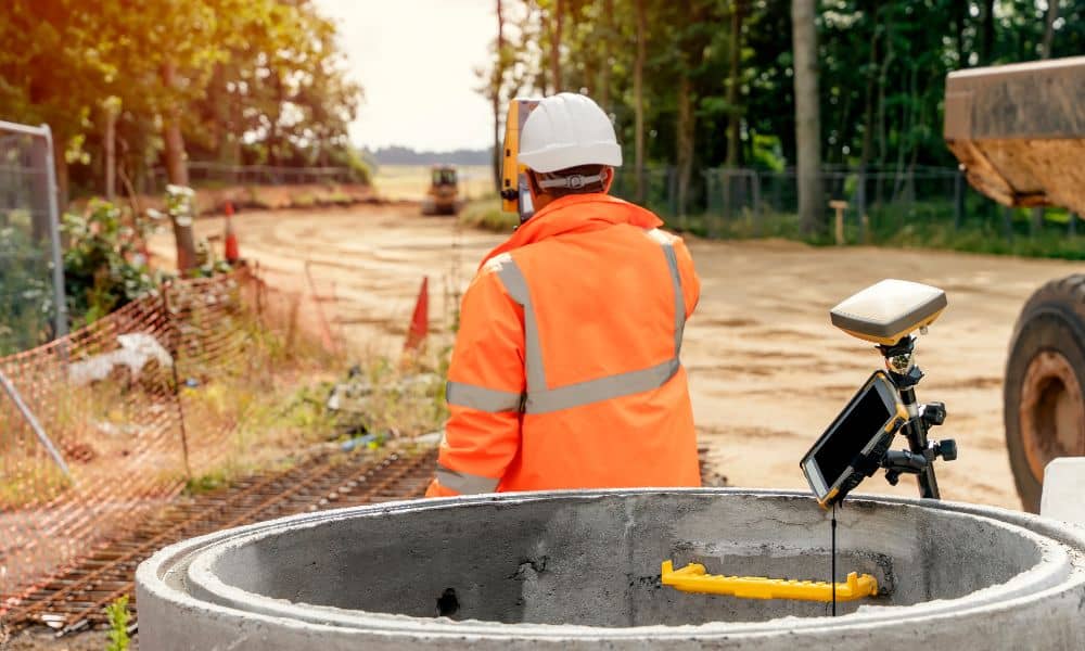
Now picture this: a crew is staking out a new commercial building near Downtown West. The design depends on millimeter-level accuracy, but a solar storm causes the GPS receiver to jump by a foot. That’s not just a hiccup. It can lead to misplaced footings, angry clients, and expensive corrections.
That’s why space weather isn’t just science—it’s project risk.
NOAA’s New Satellite and What It Means
In late September, NOAA launched the SWFO-L1 satellite, designed to improve early warnings for solar storms. Until now, surveyors often had little time to react when geomagnetic activity spiked. With better lead times, survey crews can plan ahead, shift schedules, and reduce downtime.
The takeaway is simple: accurate surveying doesn’t depend only on skill and equipment. It also depends on preparation for things no one can control—like the sun. A professional construction surveyor who follows space weather alerts adds a layer of protection to your project.
How Surveyors Track Space Weather
NOAA uses a rating system to classify space weather. For construction, the most important is the G-scale, which measures geomagnetic storms.
- G1 or G2 storms may cause minor errors, but work can usually continue with caution.
- G3 storms and above are red flags. Accuracy drops fast, and the safest move is to pause GPS-heavy tasks.
Surveyors who understand these alerts know when to push ahead and when to wait. More importantly, they know how to explain the impact to builders, developers, and lenders in plain language. That level of communication keeps everyone aligned and prevents disputes later.
The Minneapolis Playbook: Staying Accurate on Storm Days
Construction comes with unique challenges. Urban canyons already create GPS reflections. Add a solar storm, and the signal quality can tank. Good surveyors prepare for this.
Here are strategies top survey crews use locally:
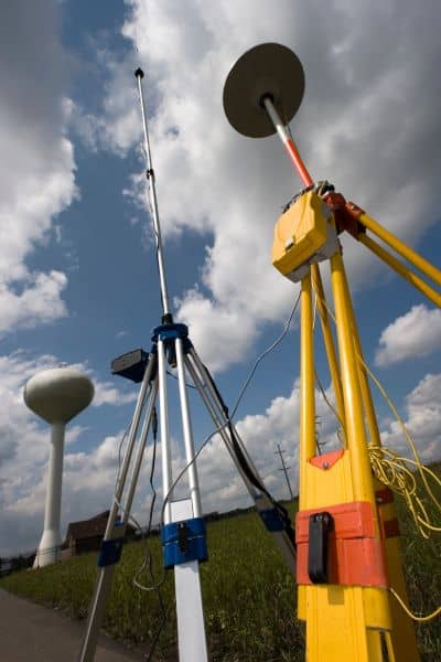
- Dual-frequency receivers. Using L1, L2, and L5 signals helps cancel out ionospheric errors caused by solar storms.
- Pre-downloading ephemerides. This gives the receiver satellite position data before the storm disrupts live corrections.
- Base stations and PPK backups. By setting up a local base and using post-processed kinematic workflows, surveyors can still deliver accuracy even if real-time corrections fail.
- Flexible scheduling. Smart surveyors save indoor tasks, meetings, or non-GPS work for days when solar risk is high.
This adaptability makes a big difference. Instead of fighting bad signals, crews adjust and keep projects moving forward.
What Builders and Developers Should Know
If you’re leading a construction project, you might think space weather is outside your concern. But here’s why it matters:
- Project timelines. A one-day delay to avoid inaccurate staking is better than weeks of correction later.
- Risk management. A construction surveyor who plans for solar storms reduces liability for mistakes.
- Cost savings. Catching errors early keeps budgets intact and avoids disputes with lenders or city inspectors.
Think of it this way: when your surveyor talks about space weather, it’s not overkill—it’s foresight. They’re protecting your investment.
Real-World Scenarios
Take residential projects in Nokomis or Powderhorn. A homeowner may be adding a garage, and the survey crew shows up to mark the foundation. If a solar storm is active, the marks might end up inches off. That small error can trigger setback violations with the city.
Or imagine a roadwork project along I-94. Heavy equipment depends on survey-grade GPS for grading. A geomagnetic storm could cause errors that ripple through the entire crew’s work, forcing expensive rework.
By monitoring NOAA alerts, surveyors can prevent these situations before they spiral.
Looking Ahead: Fewer Surprises, More Confidence
The launch of NOAA’s SWFO-L1 satellite is good news for the industry. More accurate forecasting means Minneapolis surveyors won’t be caught off guard. They’ll have more time to brief clients, adjust schedules, and keep projects safe from GPS errors.
But the best technology only works if someone knows how to use it. The real value lies in hiring a construction surveyor who stays updated, explains risks clearly, and adapts when conditions change.
Conclusion:
Solar storms may sound distant, but their impact is felt right here on job sites across Minneapolis. The right surveyor doesn’t just set up equipment and hope for the best. They follow NOAA alerts, use advanced gear, and prepare backup plans for stormy days.
If you’re planning a project—whether it’s a new building downtown or a residential addition—work with a surveyor who takes accuracy seriously, no matter what the sun throws at us. A little foresight today can save a lot of headaches tomorrow.
