
How Survey Mapping Helps Projects Plan Around Stormwater Runoff Rules
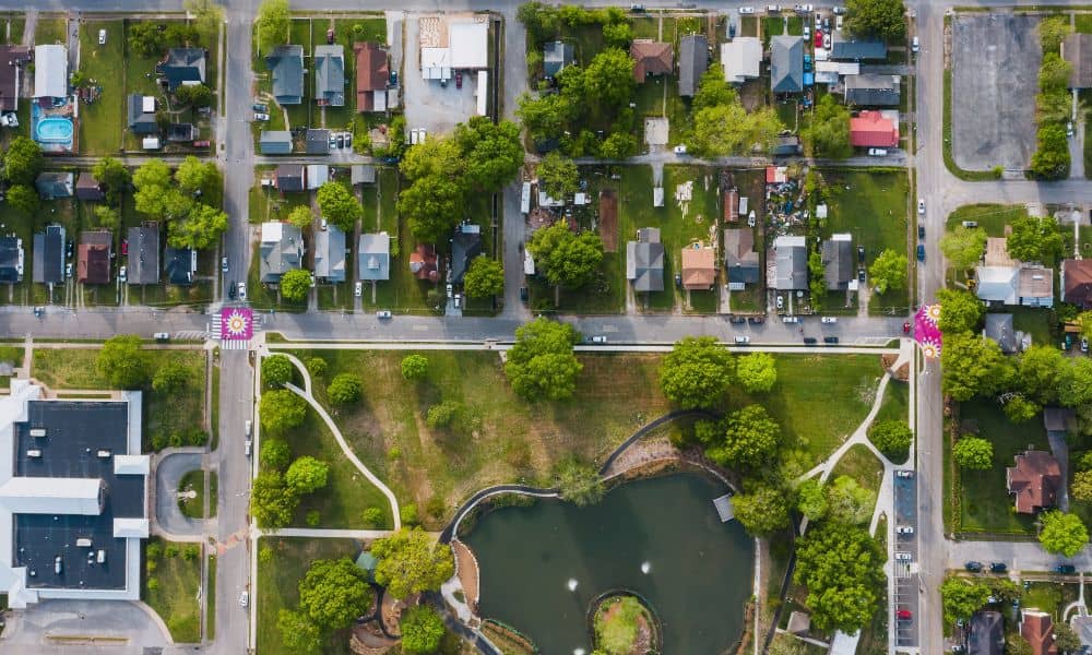
A stormwater plan only works when it matches what is really on the ground. That is the job survey mapping does first. It records a property as it exists right now, before anyone sketches a single drainage feature. In Minnesota, where the rules shift based on the type of project, having that record early saves […]