
LiDAR Mapping for Large Acreage and Forested Site Reviews

A large wooded property looks simple from the road. Walk into the trees, and the ground can change fast. It can drop, rise, or turn wet with no warning. Before a developer or engineer spends money on design work, they need to know what’s really under that tree cover. In Minneapolis and the wider Northwoods […]
How LiDAR Mapping Supports Riverfront Redevelopment Planning
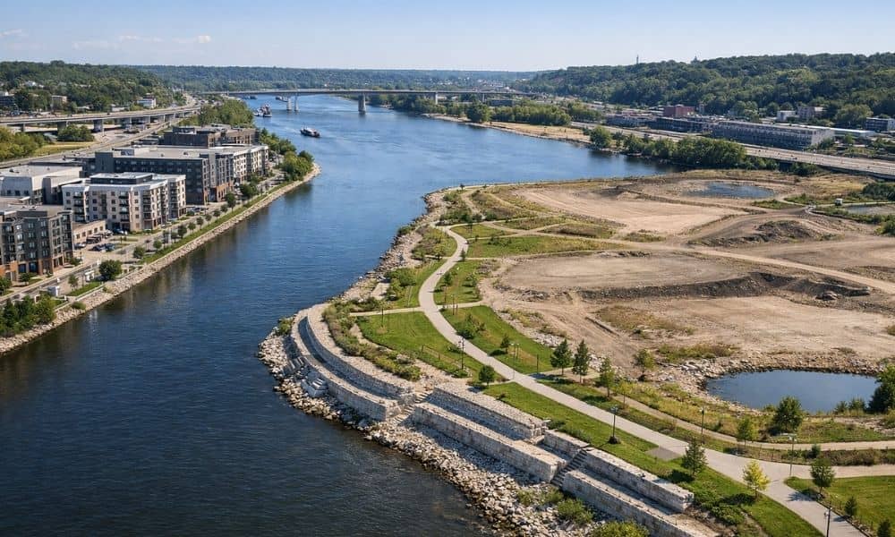
LiDAR mapping is one of the best tools for developers working along Minnesota’s rivers. It shoots laser pulses at the ground and measures the height of the land with great accuracy. This creates a detailed picture of the terrain that regular surveys and aerial photos simply cannot match. For projects along the Mississippi River, having […]