A stormwater plan only works when it matches what is really on the ground. That is the job survey mapping does first. It records a property as it exists right now, before anyone sketches a single drainage feature. In Minnesota, where the rules shift based on the type of project, having that record early saves a project team a lot of guesswork.
Start With the Site, Not the Stormwater Plan
Before a stormwater plan takes shape, someone has to know what is already there. Survey mapping gives the team that starting record. It captures the existing features on a property and puts them in one place everyone can trust.
That shared record matters because a lot of people touch a stormwater project. Engineers, planners, contractors, and property owners all need to work from the same picture of the site. When each group reads its own version of the property, small differences turn into design problems later. A single mapped reference keeps everyone pointing at the same thing.
It helps to be clear about one limit. Survey mapping shows what exists. It does not decide whether a project follows Minnesota stormwater rules. Those rules apply in different ways depending on the activity and the type of discharge, so the site information has to be read inside the right rule context.
Where Runoff Planning Meets Existing Site Features
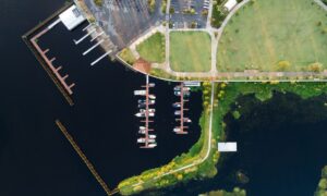
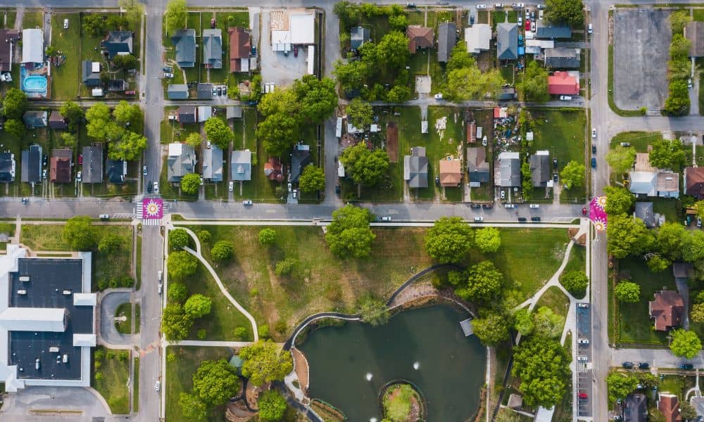
Water moves based on what is already on the land. Mapped features help a project team see that physical setting before they plan a single change. The map shows how developed areas, drainage-related features, structures, and access areas sit in relation to each other.
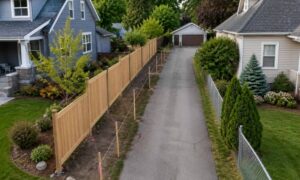
Those relationships carry real weight once runoff enters the conversation. A driveway, a low spot, or an existing structure can all shape where water wants to go. When the team has an accurate spatial record, they can look at proposed improvements against what is really present, instead of guessing. This is about coordination and a shared reference, not about designing the drainage system itself.
The Regulatory Details Hidden Behind the Drawing
Minnesota stormwater rules are not one statewide checklist that fits every project the same way. Different activities fall under different requirements. A construction site, a city storm sewer system, and an industrial site each answer to their own set of rules.
Minnesota Rule Chapter 7090 sets stormwater requirements for municipal separate storm sewer systems, known as MS4s, along with construction activities and industrial activities. That is three separate paths, not one. The project team has to figure out which path applies before assuming anything is settled. A survey by itself does not satisfy these requirements.
What survey mapping can do is supply site information the team may need while preparing project documents. The map is a source of facts about the property. Those facts feed into the design and permitting work that the rules actually call for.
Flood-Resilience Projects Need a Common Site Picture
Minnesota has seen growing interest in flood-resilience projects, and mapping plays a quiet but useful part in many of them. Not every resilience project needs the same survey. The scope decides what information the team actually requires.
Where these projects get complicated is the number of things that must be considered together. Existing structures, pipes, land features, and proposed improvements all sit on the same property and affect each other. Survey mapping lets different professionals work from one consistent record of existing conditions, so their pieces line up.
Be honest about what mapping does and does not promise. It does not prevent flooding, and it does not guarantee that a project gets approved. It supports coordination among the people doing the work. Some communities and projects also carry local requirements on top of the state rules, so the local picture deserves a look too.
What to Confirm Before the Map Becomes Part of the Plan
A little planning up front keeps a survey useful instead of generic. The questions below help an owner scope the work before anyone starts. Before ordering survey mapping for a stormwater-related project, get clear on these:
- What existing features actually need to be mapped?
- Who will use the survey information?
- Which design or permitting documents will rely on it?
- Are there local requirements in addition to the state rules?
- Does the project need construction stormwater permit coverage?
Answering these early helps because different professionals play different parts. A land surveyor records the site. A civil engineer designs the stormwater work. Permitting professionals confirm what the rules require. Each depends on the others, and none replaces the rest.
For construction activities that need a construction stormwater permit, the rules call for a stormwater pollution prevention plan, or SWPPP, before the permit application and before construction begins. That timing matters when you schedule the survey work. Good mapping gives the project team a clearer set of facts to start from. Real compliance still depends on the full project and the requirements that apply to it.
Frequently Asked Questions
Can survey mapping determine whether a project meets stormwater requirements?
No, it cannot. Survey mapping records existing site conditions and provides information the team uses during planning. It does not by itself establish that a project meets the rules. What applies depends on the project, its activities, its location, and the agency with jurisdiction.
Does every flood-resilience project require survey mapping?
Not always. The surveying a resilience project needs depends on its scope and the information the design and review professionals ask for. Some projects lean heavily on accurate existing site data, while others need very little. Survey mapping is most useful when the team needs a reliable record of what is already on the property.
What does survey mapping contribute to stormwater planning?
It provides a spatial record of the existing site conditions that matter to the project. Engineers and other professionals use that record to line up proposed work with what is actually present. This keeps the plan grounded in real property features instead of assumptions. It also gives everyone on the project a shared reference to work from.