
Lot Survey Demand Is Rising Due to Zoning Changes
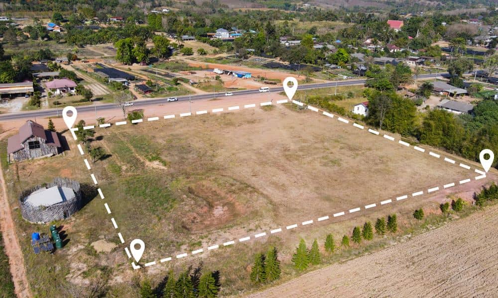
Zoning changes in Minneapolis are getting attention for how they affect housing and development. However, most property owners are missing a quieter impact. As zoning rules loosen and land use options expand, the exact definition of a property matters more than it used to. Because of that, more people now need a lot survey, often […]
Why Viral Property Maps Fail Without a Property Line Survey
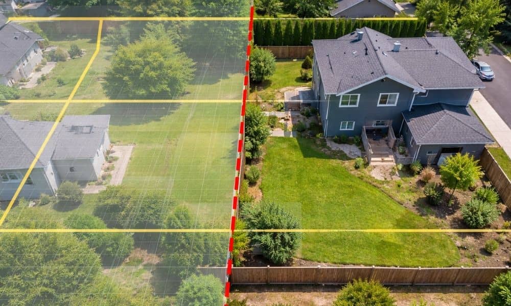
Over the past few days, Minneapolis has seen a surge of map screenshots shared across social media. People are posting parcel outlines, zoomed-in boundary lines, and aerial views to explain what they believe is happening on the ground. At first glance, those images look official. They feel factual. They even appear precise. However, that confidence […]
Why Climate Flooding Is Driving New Topographic Surveys
Flooding is no longer rare. Over the past few years, heavier rain and longer wet seasons have changed how land behaves across the city. Because of this shift, topographic surveys now play a much bigger role in how people plan, build, and protect property. Early in any project, updated survey data can show problems that […]