
FEMA Elevation Certificate: Protect Your Home Sale

If you’re buying or selling a home near the river or one of the city’s many creeks, you’ve probably heard the term FEMA Elevation Certificate come up. This single piece of paper could make or break a deal—especially right now, when there’s talk of the National Flood Insurance Program (NFIP) shutting down this week. For […]
Construction Surveyor Guide to Solar Storm GPS Risk
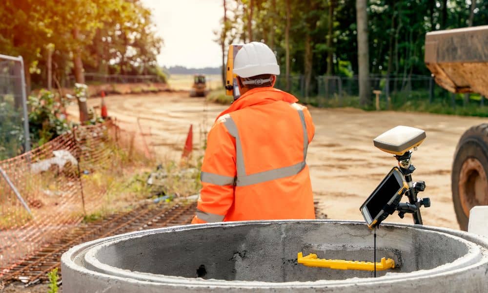
When you hire a construction surveyor, you expect accurate measurements. After all, a few inches can make or break a foundation, delay a project, or cause costly rework. What many people don’t realize is that even the best technology has a hidden vulnerability: the sun. Recent news from NOAA about the launch of the SWFO-L1 […]
Boundary Survey Challenges After Site Encampment Clearances
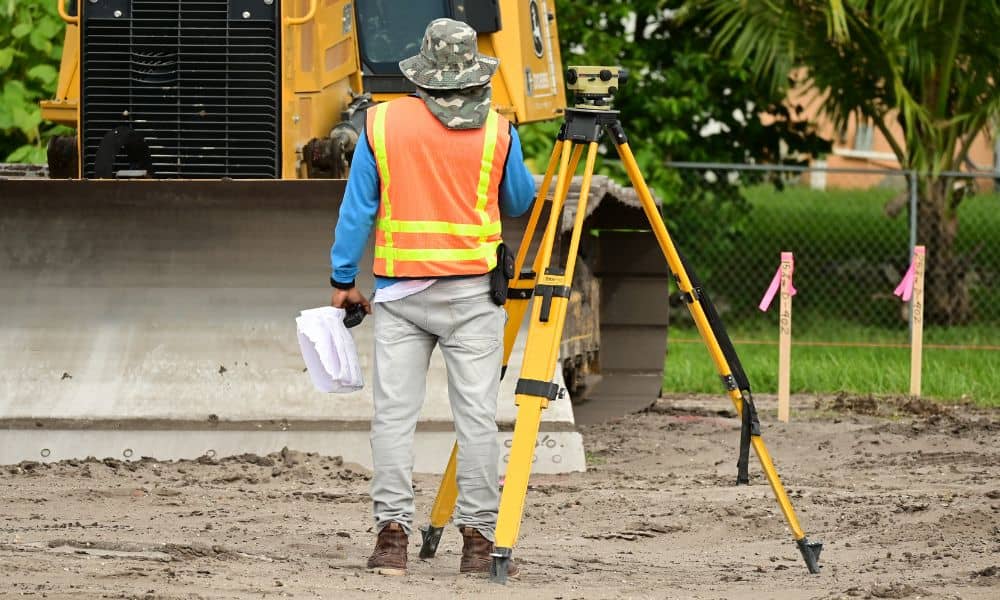
When people think about a boundary survey, they often imagine a simple task: marking property lines so builders or homeowners know where one lot ends and another begins. In most cases, that’s true. But in Minneapolis right now, the job has gotten more complicated. After two recent shootings near Lake Street encampments, the city quickly […]