How LiDAR Mapping Supports Riverfront Redevelopment Planning
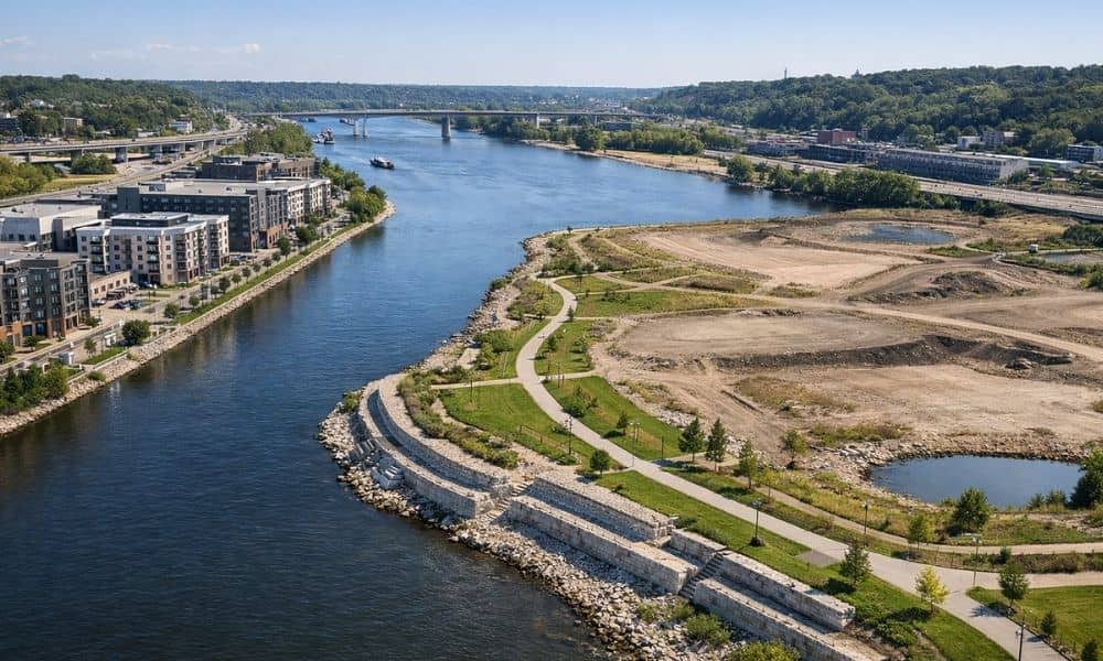
LiDAR mapping is one of the best tools for developers working along Minnesota’s rivers. It shoots laser pulses at the ground and measures the height of the land with great accuracy. This creates a detailed picture of the terrain that regular surveys and aerial photos simply cannot match. For projects along the Mississippi River, having […]