Welcome to ALTA Survey Minnesota

Your Final Stop for Your ALTA Survey Needs!                              Contact us today for a free quote!

This site is intended to provide you with information on ALTA Surveying in Minnesota. If you’re looking for a Minnesota Land Surveyor, you’ve come to the right place. If you’d rather talk to someone about your land surveying needs, please call our toll-free number at (888) 808-9783 today. For more information, please continue to read.

ALTA Survey Minnesota

Land Surveyors are professionals who make precise measurements to determine the size and boundaries of a piece of real estate.  While this is a simplistic definition, boundary surveying is one of the most common types of surveying related to home and land owners. If you fall into the following categories, please click on the appropriate link for more information on that subject:

ALTA Survey Minnesota services:

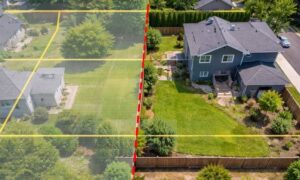
    1. I need to know where my property corners or property lines are. (Boundary Survey)
    2. I have a loan closing or re-finance coming up on my commercial property. (ALTA Survey)
    3. I need a map of my property with contour lines to show elevation differences for my architect or engineer. (Topo Survey – ALTA Survey plus Table A Item 5.)
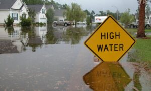
    4. I’ve just been told I’m in a flood zone or I’ve been told I need an elevation certificate in order to obtain flood insurance or prove I don’t need it. (Flood Survey)
    5. I’m purchasing a lot/property for a commercial use. (ALTA Survey – Item 5 and/or Item 11b may also need to be discussed.)
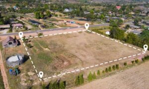
    6. I’m purchasing a larger tract of land, acreage, that hasn’t been subdivided in the past. (Boundary Survey)
author avatar
Surveyor

More Posts

Engineer reviewing documents and maps on site before a property line survey
boundary surveying
Surveyor

Build the Perfect Property Line Survey Package

When you’re getting ready for a property line survey, it’s easy to think the hard part starts when the crew arrives. In reality, a smooth and accurate survey begins long before anyone sets foot on your property. The more prepared you are with records, maps, and documents, the faster your

Read More »
Total station used for an ALTA survey on a commercial construction site
alta survey
Surveyor

Top 5 ALTA Survey Mistakes That Delay Title Insurance

When you’re closing on a property, one document matters more than most — the ALTA survey. Lenders, title companies, and buyers rely on it to see where boundaries, easements, and improvements actually sit on the land. A clean and accurate ALTA survey protects everyone involved. But one small mistake can

Read More »
Aerial view of the Mississippi River and downtown Minneapolis showing bridges and flood risk areas connected to FEMA Elevation Certificate requirements
flood damage
Surveyor

FEMA Elevation Certificate: Protect Your Home Sale

If you’re buying or selling a home near the river or one of the city’s many creeks, you’ve probably heard the term FEMA Elevation Certificate come up. This single piece of paper could make or break a deal—especially right now, when there’s talk of the National Flood Insurance Program (NFIP)

Read More »
Construction surveyor using GPS rover on a job site with sun flare in background
construction
Surveyor

Construction Surveyor Guide to Solar Storm GPS Risk

When you hire a construction surveyor, you expect accurate measurements. After all, a few inches can make or break a foundation, delay a project, or cause costly rework. What many people don’t realize is that even the best technology has a hidden vulnerability: the sun. Recent news from NOAA about

Read More »
Surveyor conducting a boundary survey on a cleared urban site with safety gear and tripod equipment
boundary surveying
Surveyor

Boundary Survey Challenges After Site Encampment Clearances

When people think about a boundary survey, they often imagine a simple task: marking property lines so builders or homeowners know where one lot ends and another begins. In most cases, that’s true. But in Minneapolis right now, the job has gotten more complicated. After two recent shootings near Lake

Read More »
Drone surveying over riverfront land, capturing aerial data for land assessment and redevelopment projects.
land surveying
Surveyor

How Drone Surveying Is Changing Land Redevelopment Projects

If you’ve heard about Graco moving out of their big property along the Mississippi River in Minneapolis, you know this opens up a huge chance for new development. The site covers 40 acres of prime riverfront land. But before anything new can be built, surveyors need to take a close

Read More »