How LiDAR Mapping Can Help Your Backyard Project

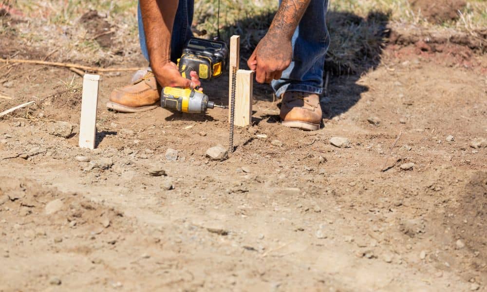
A backyard project often starts with a simple plan. Maybe you’re imagining a new patio, a garage, or a yard that finally feels level and clean. At first, everything seems simple. The ground looks flat. The space feels ready to use. So you get started. Then reality kicks in. As work begins, little problems pop […]
Boundary Survey Risks: What Happens When Utility Marks Fail
When people hear boundary survey, they usually picture a surveyor walking around a property, putting stakes in the ground, and drawing lines on a map. That’s part of it, but there’s more happening behind the scenes. One thing that often gets overlooked is utility locates—the little flags and markings that show where water, gas, electric, […]
Why You Need a Property Line Survey Before Building a Fence

You’re ready to build a fence. You’ve picked the style, talked to a contractor, and maybe even chosen the color. Everything feels simple—until one question comes up: “Are you sure that’s your property line?” At that moment, many homeowners pause. The yard looks clear. The old fence seems to show the line. However, what looks […]