Why an ALTA Land Survey Matters Near Planned Transit Expansion

Minnesota is building new transit systems. Light rail, bus corridors, and transit stations are coming to many communities. If your property is near one of these projects, you need an ALTA land survey. This isn’t optional. It’s smart business. An ALTA land survey is a detailed map of your property. It shows exact property lines, […]
How LiDAR Mapping Supports Riverfront Redevelopment Planning
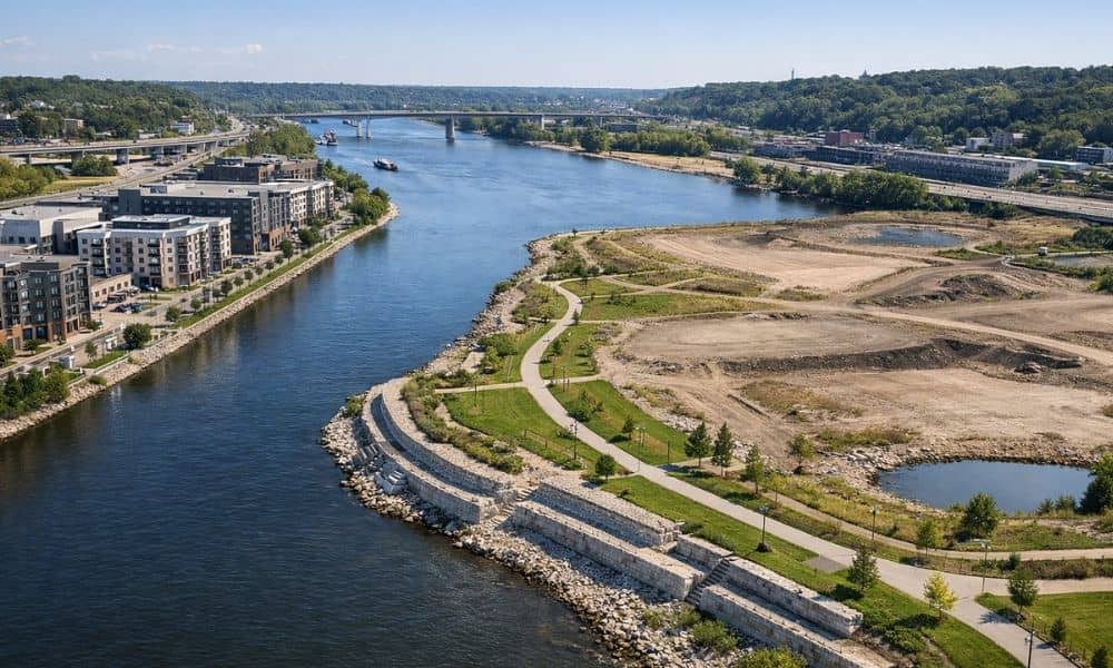
LiDAR mapping is one of the best tools for developers working along Minnesota’s rivers. It shoots laser pulses at the ground and measures the height of the land with great accuracy. This creates a detailed picture of the terrain that regular surveys and aerial photos simply cannot match. For projects along the Mississippi River, having […]
Why an ALTA Title Survey Matters Before Buying Near New Housing Projects

If you are buying property near new housing construction, an ALTA title survey could be one of the most important steps you take before closing. It checks more than just your property lines. It looks for hidden problems that could affect what you can do with the land after you buy it. This article explains […]