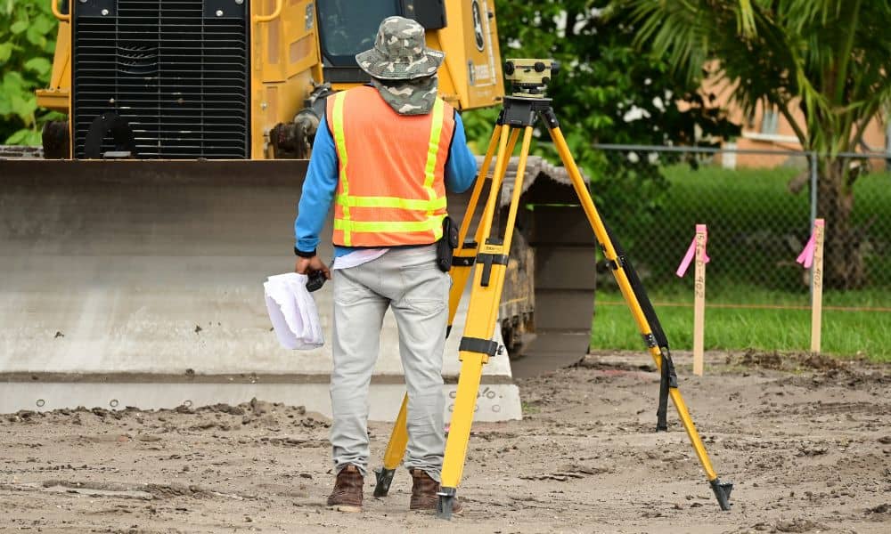
When people think about a boundary survey, they often imagine a simple task: marking property lines so builders or homeowners know where one lot ends and another begins. In most cases, that’s true. But in Minneapolis right now, the job has gotten more complicated. After two recent shootings near Lake Street encampments, the city quickly cleared camps in the area. Those removals changed site conditions almost overnight, leaving surveyors and property owners facing new challenges.
The News That Sparked It All
Lake Street has been in the headlines. Within just a few days, the city dealt with violence near encampments, followed by the sudden push to clear them out. While the focus in the news was on safety and community issues, there’s another side to the story: land use. Anytime a space changes hands or gets cleared, surveyors are called in. A boundary survey becomes the first step to make sure property lines are accurate and the land can be used safely for future projects.
This kind of fast-moving change is rare, but it highlights why boundary surveys matter so much. When crews show up, they need to know not only where the lines are but also whether the land is safe to walk on.
Why Site Access Is a Big Deal
Imagine you’re a surveyor heading to a Lake Street lot that was cleared just a day earlier. The fences or tents are gone, but that doesn’t mean the land is clear. There might be leftover debris, unstable ground, or even hazards like broken glass and exposed nails. Crews cannot just walk in and hope for the best.
For property owners, this means delays. A survey crew will only enter when the site is safe and when they have legal permission. That’s called “right of entry.” Without it, the survey risks legal issues, and the results may not hold up if challenged later.
Safety First for Survey Crews
Boundary surveys sound routine, but in an urban setting after encampment clearances, safety rules shift. Surveyors often work in pairs for extra security. They wear protective gear, keep detailed notes of conditions, and sometimes refuse to enter certain parts of a lot until hazards are removed.
These steps may feel like added delays to a property owner eager to move forward. In truth, they protect everyone. A clean and safe survey means the data is reliable and the project can continue without risk of lawsuits or injuries.
Hidden Utilities and Surprises Beneath the Surface

Another challenge is what’s under the ground. Encampments sometimes tap into water or power lines in makeshift ways. When camps are cleared, those connections may not be documented, but they can still pose a danger.
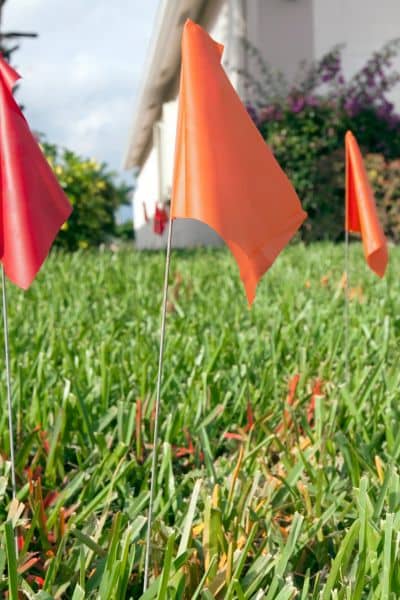
Before driving stakes or setting markers, surveyors must call Gopher State One Call, a free utility locate service. This ensures that any buried lines—official or not—are flagged. Clients should expect their surveyors to make notes if unusual utility issues or obstructions appear. It’s better to find those surprises early than to discover them during construction.
Legal and Contract Concerns
Boundary surveys also tie into contracts. Many survey agreements include language about force majeure or unsafe site conditions. In plain terms, this means if the site isn’t safe, the surveyor has the right to pause or reschedule.
Some clients may feel frustrated if their project timeline slips. But those clauses exist for a reason. Imagine a survey that goes forward without safety checks. If someone gets hurt, or if the survey turns out incomplete because parts of the lot were not accessible, the entire project can stall or end up in court.
By respecting these conditions, both surveyors and clients protect themselves. Clear communication upfront helps avoid surprises later.
How This Affects Property Owners and Developers
For homeowners, a boundary survey might be needed for something as simple as putting up a new fence. For developers, it could be part of a larger project. In either case, the recent encampment clearances show why flexibility matters.
If you plan to start a project soon, expect that surveyors may ask extra questions. They may want proof of site control, written authorization from the city or county, or confirmation that hazards have been removed. This isn’t red tape—it’s insurance that your survey results will stand strong.
Practical Advice Moving Forward
So, what should property owners and developers do right now? First, stay informed. If your property is near Lake Street, be aware of the recent changes and how they could affect access.
Second, work closely with your surveyor. Ask them what they need to feel comfortable on-site. Do they need a right-of-entry letter? Will they require proof of cleanup?
Finally, be patient. A boundary survey done under the right conditions may take a little longer, but it will give you peace of mind. It’s better to wait a week than to deal with a dispute or safety issue later.
Final Takeaway
The events on Lake Street are a reminder that land use is never just about buildings. It’s about people, safety, and the systems we put in place to manage change. For surveyors, that means adapting their work to fit the moment. For property owners and developers, it means recognizing that a boundary survey is more than lines on paper—it’s the foundation for safe and legal development.
If you own property, especially near Lake Street or the river corridors, talk with your surveyor about an urban access plan. This extra step includes safety checks, right-of-entry coordination, and utility clearance. It may feel like a formality, but it ensures your project starts on the right foot.


