How to Read a Plat of Survey
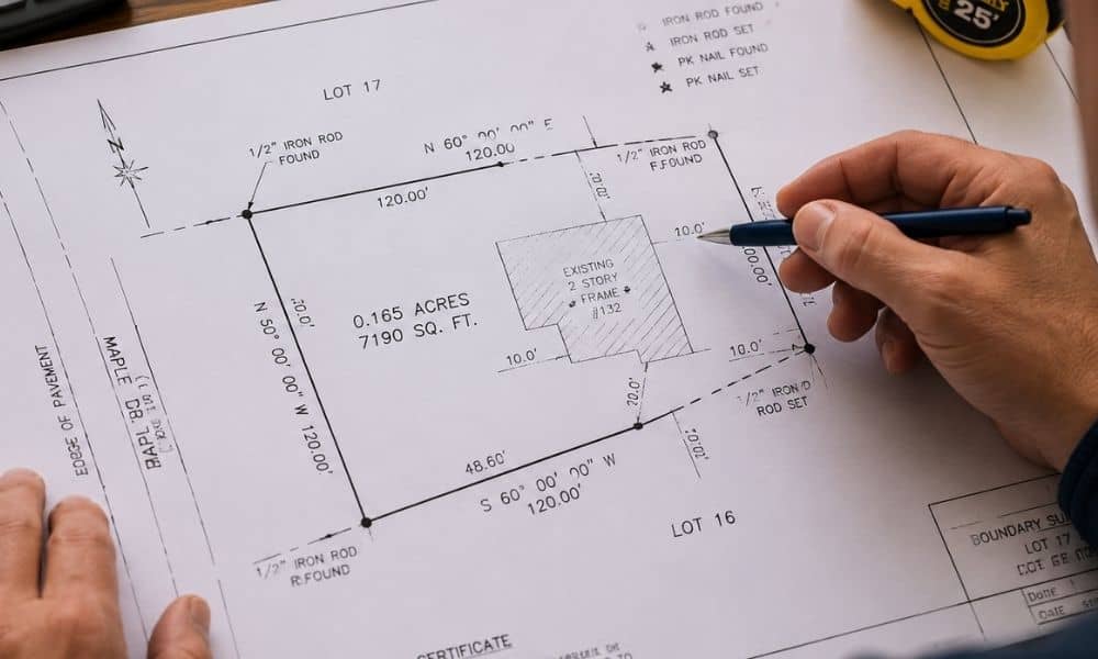
A plat of survey helps property owners understand boundaries, dimensions, easements, and physical features tied to a piece of land. In Minneapolis, where older neighborhoods, changing lots, and redevelopment projects are common, understanding a survey map can help you avoid expensive mistakes before buying property or making improvements. Many people receive a survey and immediately […]